
Page 21 - Lincolnton NCG 2024
P. 21
Lincoln County Courthouse
At the Center of History
This hand drawn map of Lincoln County and all of its townships was
created by local historian and community leader Alfred Nixon in 1900.
The Catawba River and its South Fork made trade easier and the
farmers and craftsmen who settled this region flourished and grew in
number. When iron ore was discovered in the county, a group of men
built a forge at Big Ore Bank in Ironton Township and became the first
manufacturers of iron in this section of the state. Others would follow,
and an industry was formed. The first cotton mill south of the Potomac
River was built on the branch of McDaniel Spring, beginning a long
relationship between cotton mills and the local economy.
Meanwhile in the northwest part of the county, early potters, utilizing
a skill brought with them from Germany, found an excellent source
of clay and began making pottery that remains in high demand by
collectors today.
In 1841, neighboring Cleveland County was formed from parts of
Lincoln and Rutherford counties. Catawba County to the north was
formed from Lincoln County in 1842 and Gaston County to the south
was partitioned from Lincoln in 1846. Bordered by the Catawba River to
the east, Lincoln County retained a rolling terrain with plenty of creeks
and streams to contribute to economic development. Today’s Lincoln
County is 307 square miles, extending in the form of a long rectangle
measuring 30 miles long and 10 miles wide.
The Lincoln County Historical Association welcomes you to visit and
explore the details of the history of the area and its people. Its offices
and research library are on the third floor of the Lincoln Cultural
Center at 403 East Main Street. Visit the website for information on
hours, special events and local sites, and take a guided walking tour
of downtown’s most notable points of interest and historic properties.
LincolnCountyHistory.com.
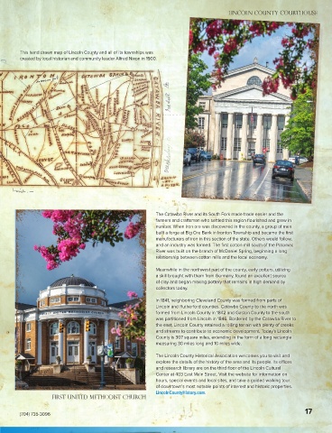
First United Methodist Church
17
(704) 735-3096